

TRACK MAINTENANCE, CATCH NEEDED REPAIRS EARLY, SAVE MONEY & SAY GOODBYE TO HEADACHES
At Open Skies Digital, we strive to enable property owners to make the most informative decisions. After all, better decisions allows for the management of more properties, with less resources by lowering the cost of maintenance and ownership.
From building a reliable photo archive to tracking maintenance and repair needs, to support from professional resources to ensure preventative measures are addressed when necessary and expediting insurance claims when needed.
We provide the resources to supplement the work required of property and facilities managers so they can more effectively manage their properties, extend the life of the buildings by keeping them running smoothly and reduce costs by catching problems early. This is helpful for one physical location and is easily scalable to as many locations as needed.
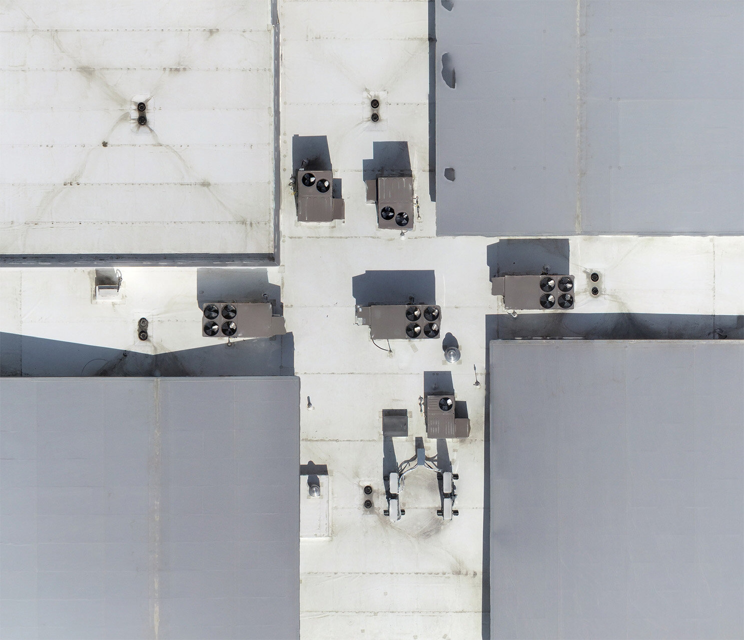
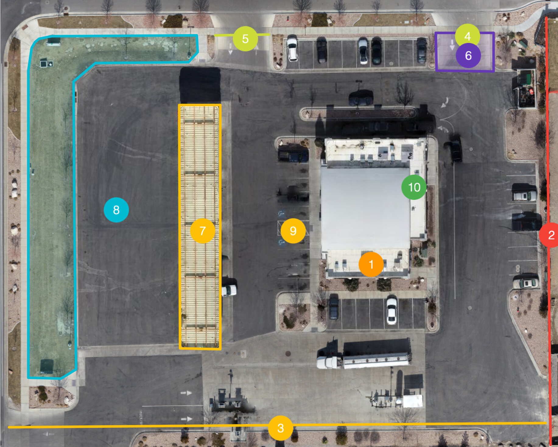
Membrane roof in need of attention to assess potential problems
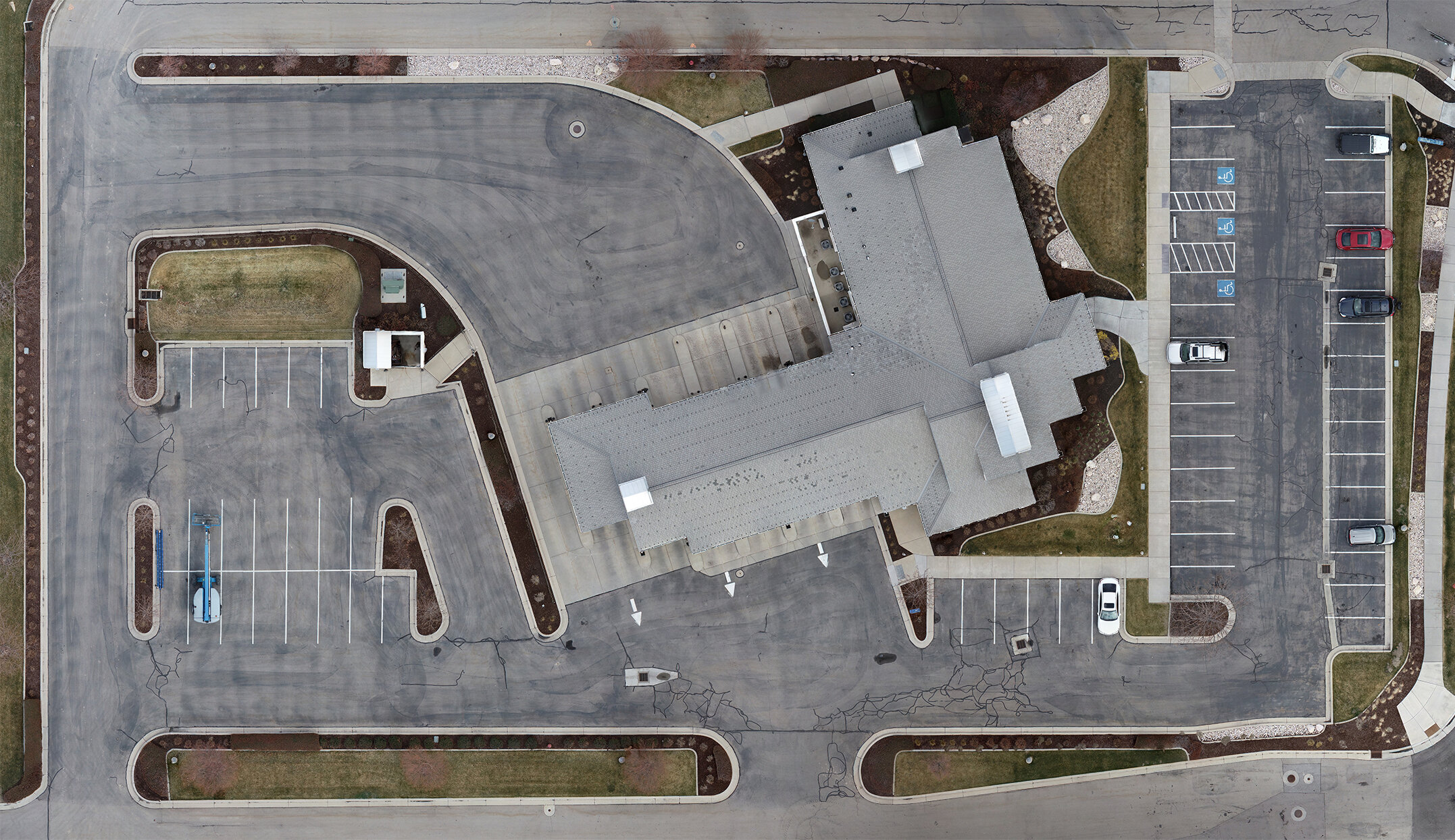
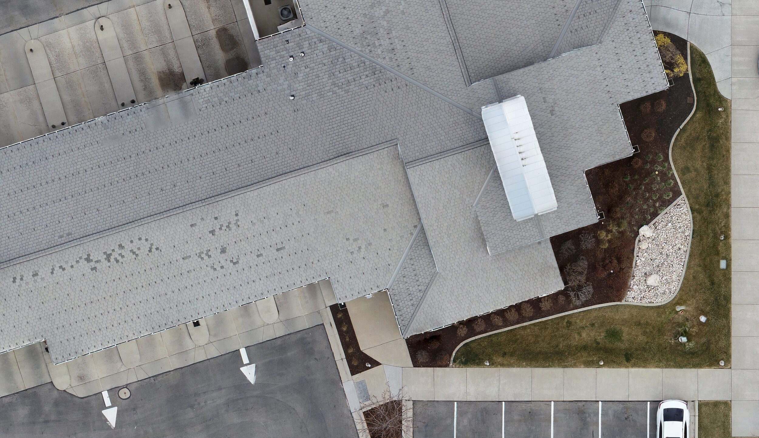
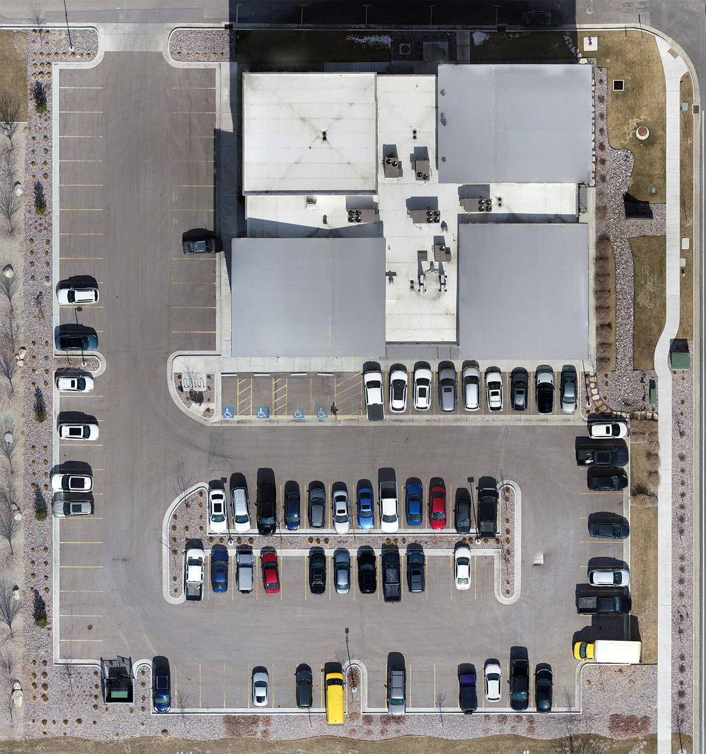
Captured with a drone - high resolution and date of the image is known
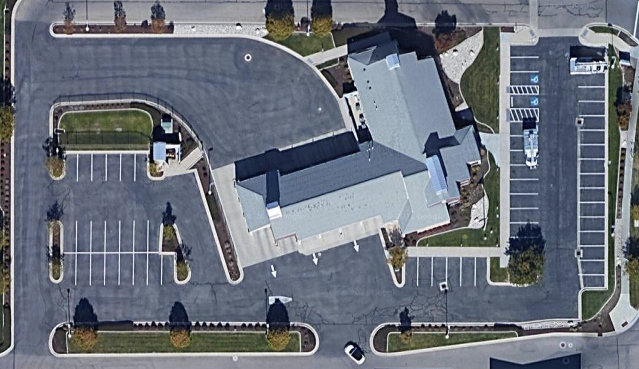
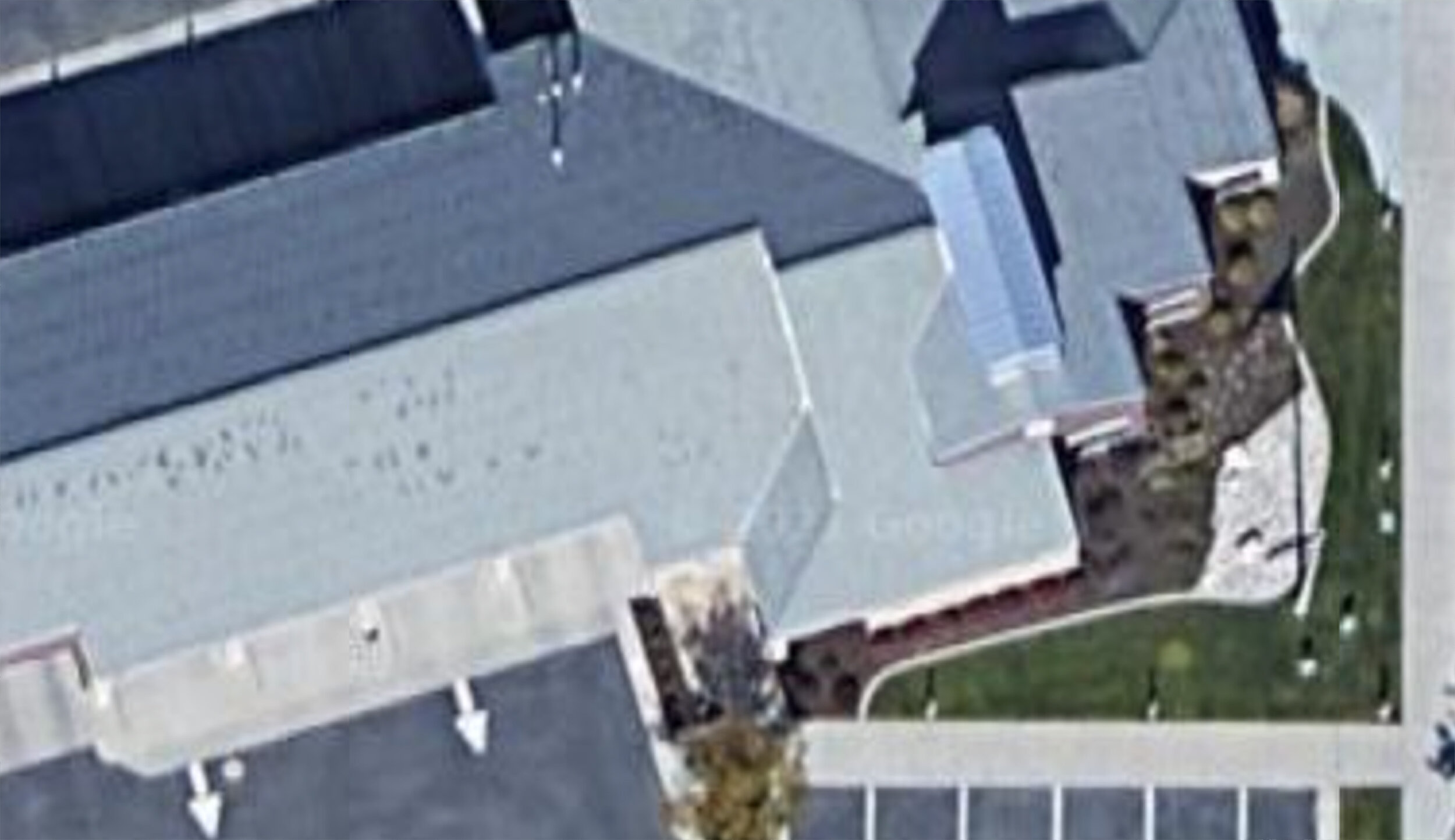
Google Map - low resolution and date of the capture is unknown
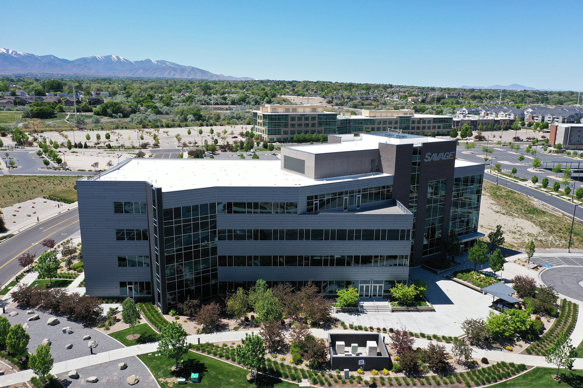
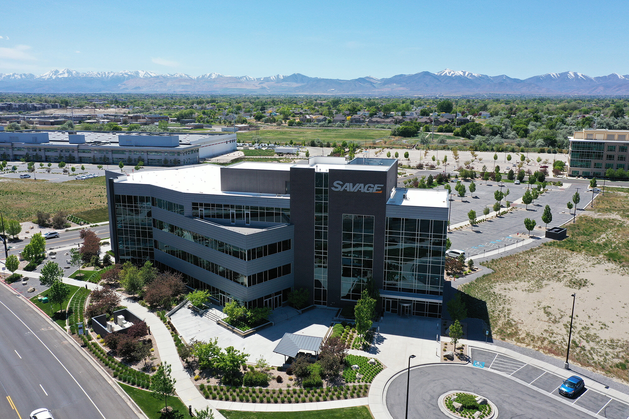
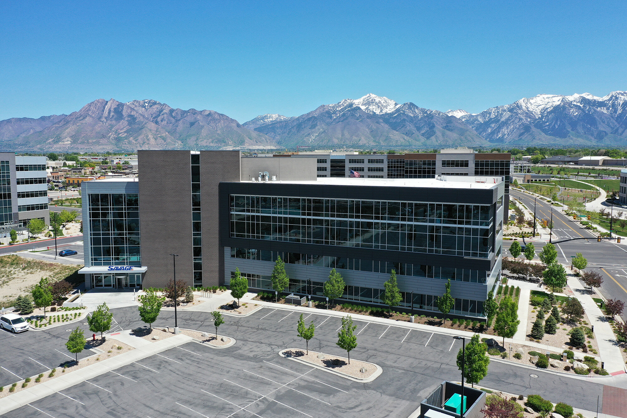
1/6. Regular 2D Maps to Build a Reliable Photo Archive
We provide 2D mapping to assist property and facilities managers in providing the highest level of service and support for their properties.
2D mapping is the process of taking hundreds or thousands of aerial photos and stitching them together to make a single high resolution image (orthomosaic) of a desired location at a desired time. This provides a comprehensive view of a property in great detail. If you’re not familiar with drone mapping, think of a Google map, but high-resolution and current for a given date since Google images are blurry and can be months or even years old. Building a reliable photo archive to track maintenance and repair needs will save property owners valuable time and money.
There are many benefits of mapping a property on a regular basis:
Most people don’t look at their roof until they have a leak. Instead of waiting for a problem to occur, we can have a roofing company review the 2D map at no cost to address any concerns in advance. Early detection can extend the lifespan of a roof, reduce the cost and urgency of needed repairs and prevent the need for inconveniences like displaced tenants or lengthy insurance claims.
This preventative approach for roofing can also be applied to walkways, private roads, parking lots and other structures on your property to catch larger issues before they require expensive repairs.
More accurate budgeting can be achieved by having regular visual updates to know how the property is actually aging, rather than just planning on the estimated lifespan of a given element.
Reduce insurance premiums by creating a risk management strategy for property preservation. This puts your property at a higher rating which can result in reduced premiums upfront. If interested, we’re able to connect you with experienced and knowledgeable parties to evaluate your property to ensure you can maximize potential savings.
Insurance support documentation to ensure any needed claims go smoothly with readily available visual documentation of your property.
Easily get measurements of your property (distance, area, etc) for more accurate estimates to reduce unnecessary surprises with bids from contractors.
When selling, detailed records documenting the condition and work completed on the building can entice prospective buyers and potentially increase the sales price. It can also put prospective tenants at ease knowing additional resources are being utilized to manage the property and extend the life of the space.
Maps are stored online, allowing for access anywhere and the ability to easily collaborate with others within your organization or outside vendors.
The frequency of documented maps can be specified based on the property’s needs but 2x/year is a good starting point to create a reliable photo archive.
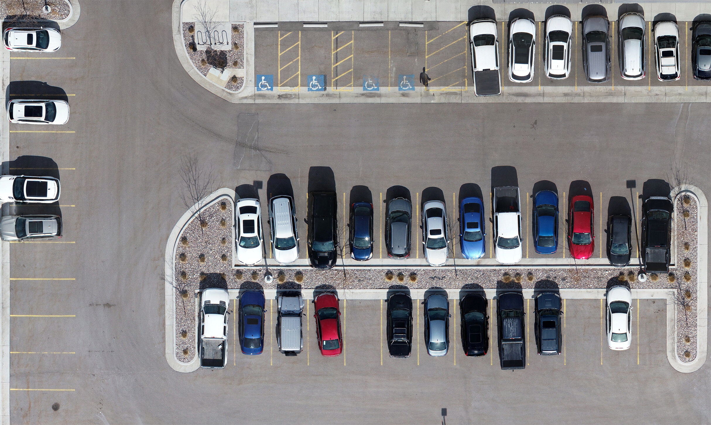
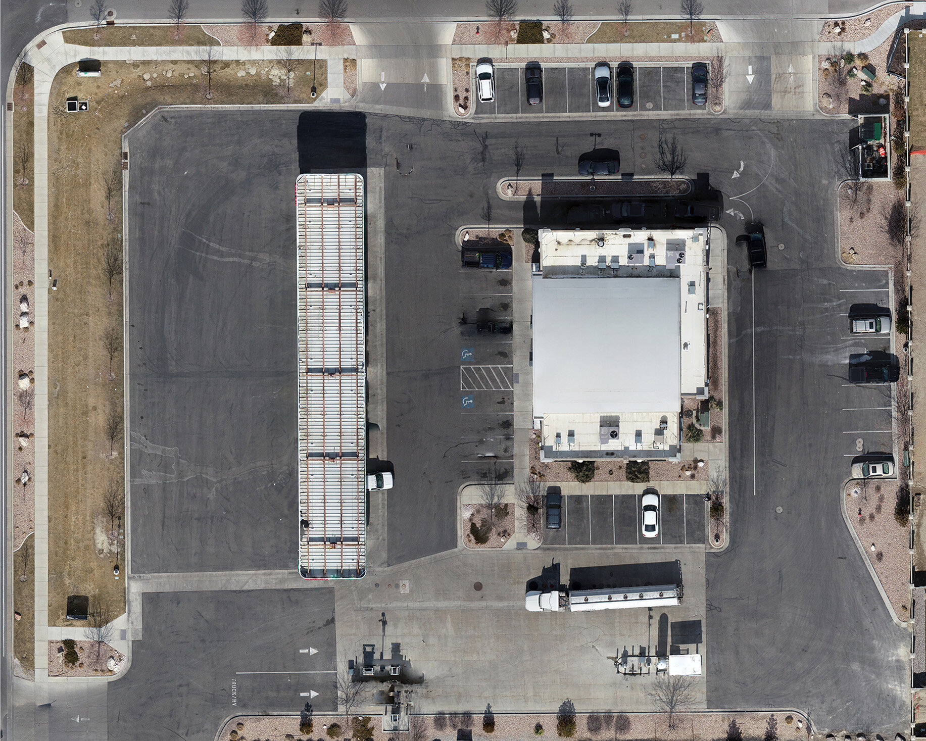
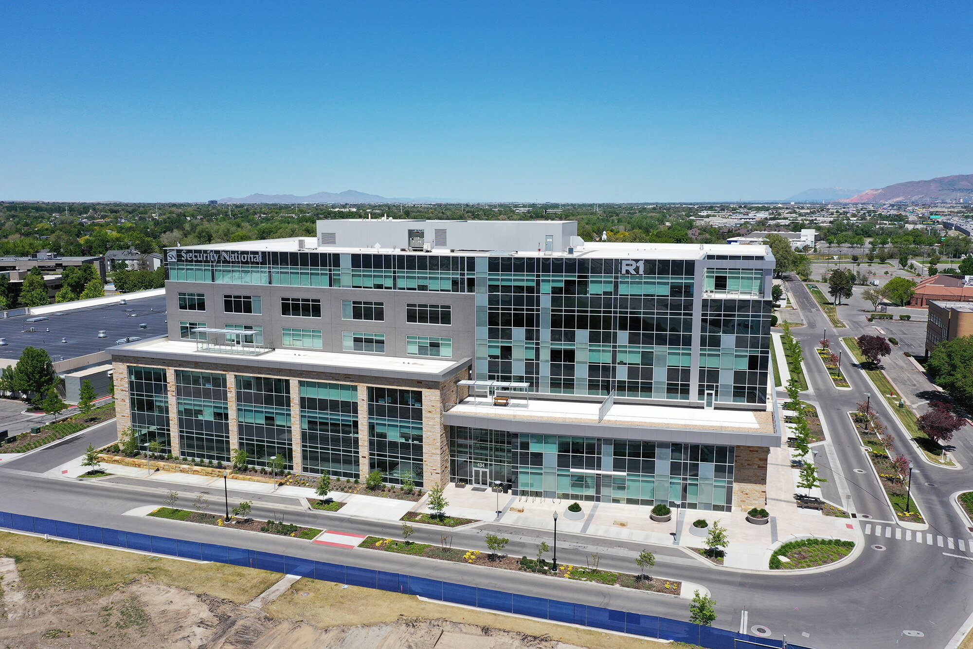
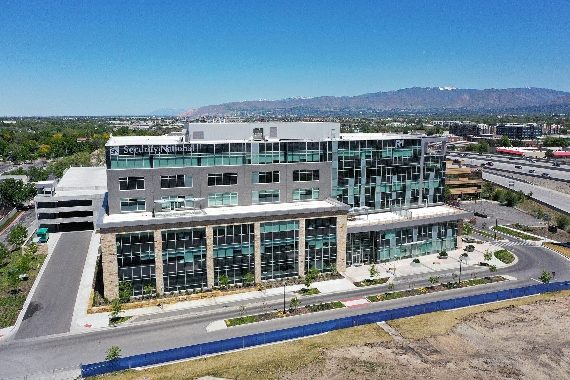
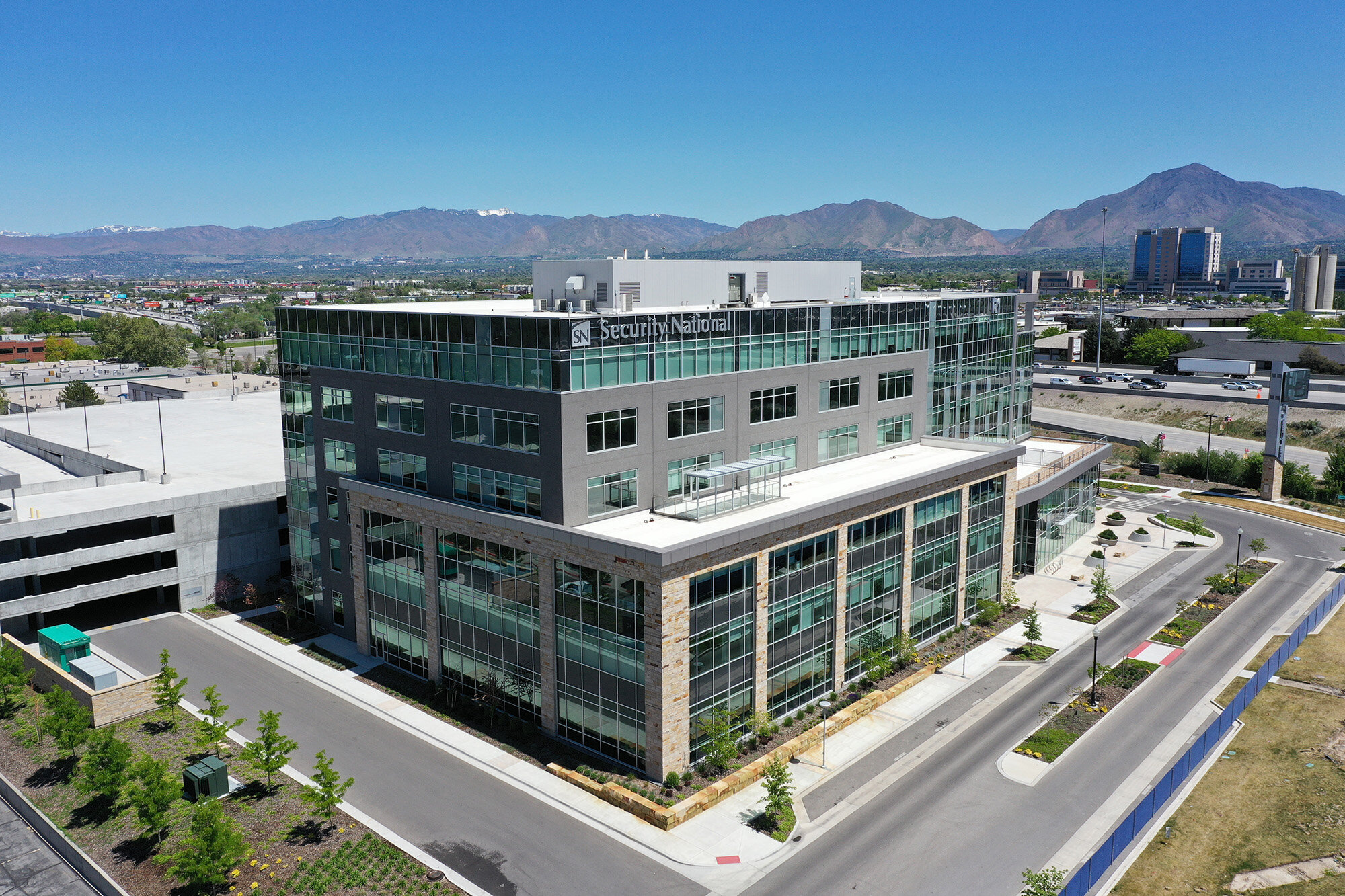
2/6. Aerial Photos to Document a Property
Aerial photos can supplement the benefits of 2D maps when documenting a property. This can be done one time, once a year or more often depending on the specific needs of a property. Photos can capture consistent angles and coverage across all shoot dates and specific items can be captured in detail as needed. This includes the exterior facade and the condition of landscaping, signage, lighting, fencing, paint and more.
Here are some benefits of taking high resolution aerial photos of a property:
Being on site to inspect a property is helpful but there are plenty of opportunities to miss something in the moment. With aerial photos a record of the property is maintained and can be referred to later. These photos can be utilized internally or shared with outside contractors.
2D mapping is a bird’s eye view of a property so getting additional angles more thoroughly documents the property. This is also helpful to track the usage of the property - deliveries, unclaimed vehicles, dumpsters/trash, etc.
Capturing the property with high resolution photos enables you to keep contractors accountable with before and after photos.
The level of coverage, detail and frequency can be customized based on a property’s needs.
3/6. 3D Models for Added Visibility
Standard 3D models are included with all 2D maps to provide additional visibility of the property. If a greater level of coverage and detail is requested, there may be an additional cost to cover the extra time required on site.


4/6. Insurance Documentation to Make Claims Effortless
Nobody likes to deal with insurance issues but the most effective way to speed up the process is to thoroughly document the problem and share it with your insurance agent ASAP. In addition to scheduled documentation, we can capture damage (storm, fire, earthquake, etc) as needed to ensure claims are processed quickly.
With the collection of prior 2D maps and aerial photos, you can easily show new damage compared to the previous condition to expedite accurate payouts and promptly make necessary repairs. We’re also able to provide photos and 3D virtual tours of interiors when needed.
5/6. Why You Should Work with Us
We’re all about building lasting relationships with our clients (no transactional experiences here). That’s why we make sure your needs are met and we deliver what we say we will when agreed upfront. Customer experience and satisfaction is, and will always be, our number one priority.
We offer a wide range of services to save those that work with us a lot of time. There's only one point of contact to manage everything, eliminating the need to coordinate with multiple vendors or worry about receiving deliverables on time.
We manage and keep a backup of all deliverables so you don’t have to worry about that internally.
All content is delivered electronically so you receive it quickly, can access it anywhere and can easily share it with relevant parties.
We’re always adding new services to provide the most up to date and relevant support. If there is ever anything else you may need, we can certainly provide it, so just let us know.
View a full list of our marketing and documentation services >>
6/6. We’re Licensed and Insured (so you don’t have to be)
There is a lot of unnecessary safety and financial risk when using an unlicensed and uninsured drone pilot for commercial work.
A licensed drone pilot has passed the operational, safety, and airspace knowledge testing, background security checks required by the FAA and has been granted the authority to operate commercially. Our license removes your exposure to potential FAA fines for not following proper regulations, which can include fines up to $12,100 per occurrence for using unlicensed pilots.
Normal business G/L insurance will not cover an accident with a drone. This could result in significant personal liability and excessive out of pocket costs to restore or replace damaged property. Special drone insurance is required for aerial activities and we maintain a separate drone insurance policy, in addition to standard business insurance. Our insurance eliminates your potential liability and insurance requirements for drone related activity.
We have multiple drones in the event something happens, so we always have a backup to avoid unexpected delays. Our equipment also means there’s no need for maintenance or purchases for anything drone related on your end.
If you’d like to learn more, read our Commercial Drone Operator FAQs.
Any 2D mapping or 3D modeling services provided are for informational purposes only. We are not licensed inspectors or surveyors and don’t provide survey grade deliverables. Pricing for each service will vary based on a number of factors, including the size of the property, the requested deliverables, the quantity and frequency of documentation needs, location of the property and any post production requests. Wholesale pricing is available based on a certain criteria. If airspace authorization is required for a given location, a $99 fee will be added per trip for the necessary approvals. Please get in touch with your specific needs to get an accurate quote.